Take action
$130
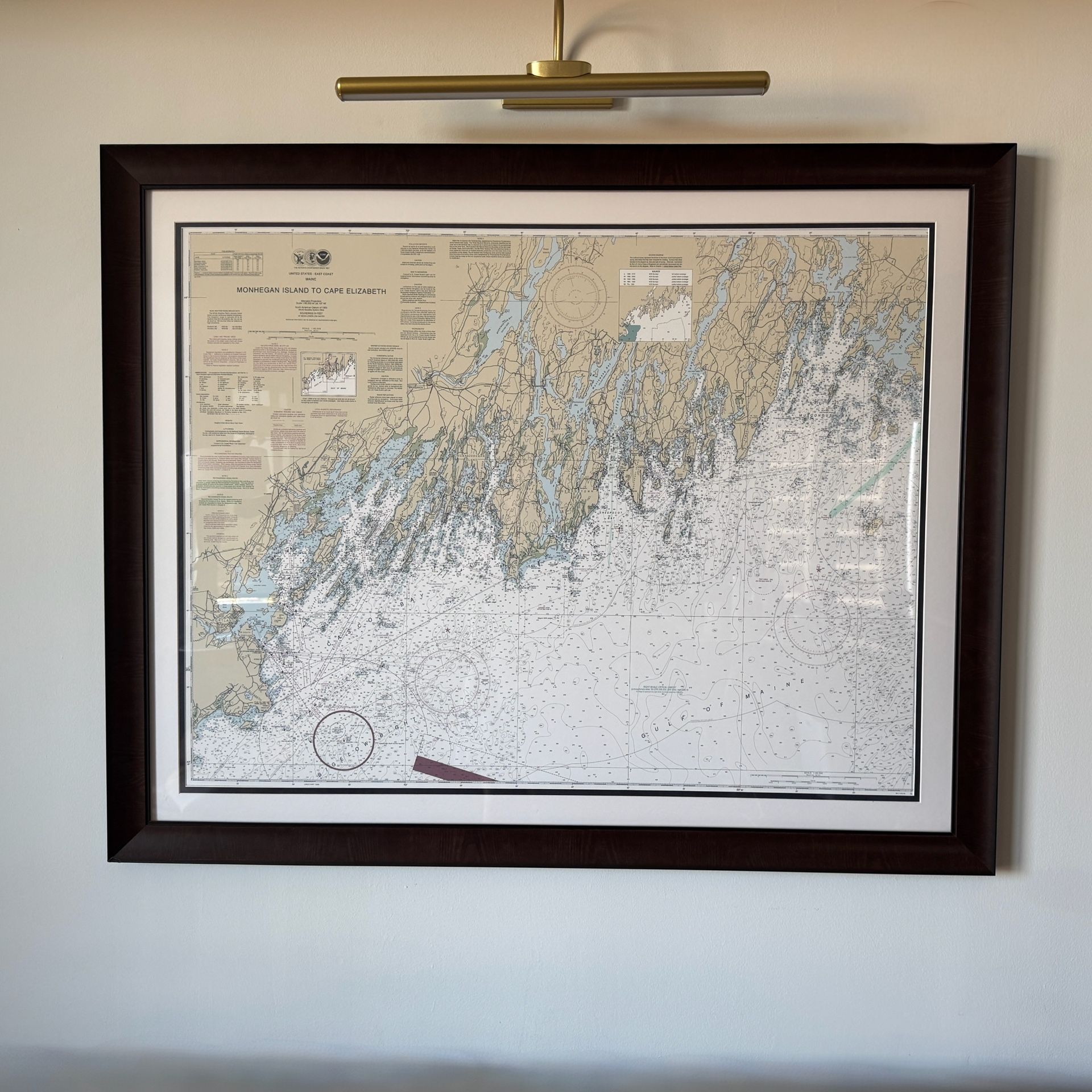
Mounted Authentic Nautical Chart – Monhegan Island to Cape Elizabeth, Maine
Last updated 1 day ago in Arlington, VA
Listed in categories:
Sold by
Get a second opinion
Chat securely on the app

Additional images
Description
Large framed NOAA chart of the intricate islands and coastline off Portland, Maine. • Size: 53 in wide x 42 in tall • Authentic NOAA chart, not a reproduction poster • Professionally framed with dark wood veneer, double matting, and plexiglass front (it’s lighter than it looks) • Classic look — perfect for a coastal home, office, or study The picture light is available for an extra $30 Condition: Chart itself is pristine. Frame has a small veneer deformity and a superficial scratch in the bottom left corner (see photos).
Details
Condition
Used (normal wear)
Features
Framed, Matted
Size
Large (up to 60in.)
Originality
Original
Additional details
Style
Illustration
Item location map
Map is approximate to keep seller’s location private.