Take action
$25
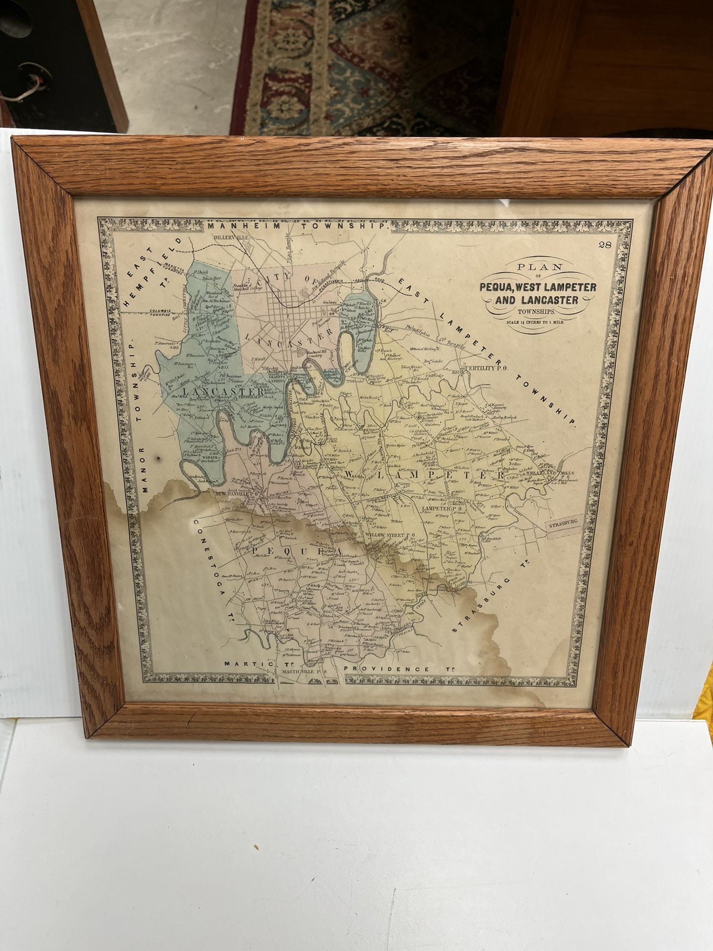
Framed Civil War Era Lancaster Pennsylvania Plan
Posted 3 days ago in York, PA
Listed in categories:
Sold by
Get a second opinion
Chat securely on the app

Additional images
Description
The Framed Civil War Era Lancaster Pennsylvania Plan is a geological map originating from the United States, specifically focusing on the Lancaster city area in Pennsylvania. This antique piece provides valuable historical information about the geography and geology of the region during the Civil War era, making it a unique and informative addition to any collection of maps, atlases, or globes related to North America. Water stain is present, bringing value of this piece down. Frame measures 18.25”x18.5”x.75”.
All content is available to screen readers from the outset. The See more button is for visual users only to expose content incrementally that is already available to you
Details
Condition
Used (normal wear)
All content is available to screen readers from the outset. The See more button is for visual users only to expose content incrementally that is already available to you
Item location map
Map is approximate to keep seller’s location private.
Related searches
- Wedding dress
- Wedding rings
- Flower girl dresses