Take action
$65
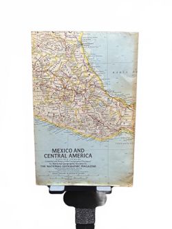
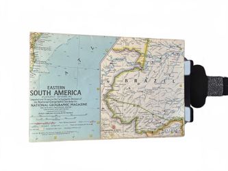
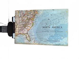
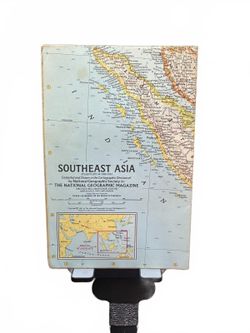
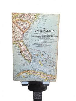
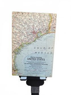
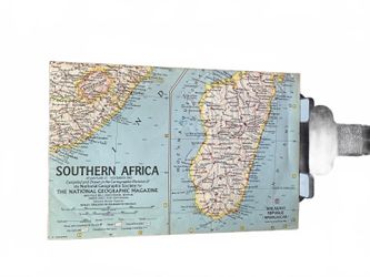
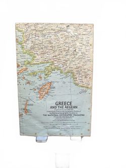
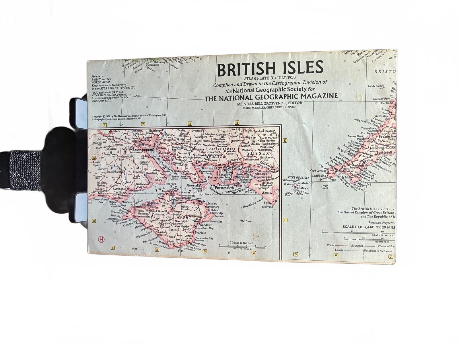
British Isles National Geographic Vintage Map 1975 Good Condition
Posted about 6 hours ago in Garden Grove, CA
Listed in categories:

Chat securely on the app

Description
This is a vintage British Isles map compiled and drawn by the Cartographic Division of the National Geographic Society, originally published in 1975. The map features detailed geographic information of the British Isles and surrounding areas, printed on durable material suitable for display or reference. It has some wear consistent with age, including minor creases and slight discoloration, but remains clear and intact for use or collection. A great piece for collectors or enthusiasts of vintage cartography and British geography. This item is in-hand. Photos are of the actual item. Ships within 2 business days. Same-day local pickup or delivery available in Garden Grove, CA.
Details
Condition
Used (normal wear)
Item location map
Map is approximate to keep seller’s location private.