Vintage USGS Topo Maps For Central Ky areas
$13
Posted 2 months ago in Lexington, KY
Condition: Used (normal wear)
Listed in categories: Collectibles & Art - Antiques - Maps, Atlases, & Globes
Sold by
Additional images
Details
- Type
- North America map
- Original Or Reproduction
- Antique original
Description
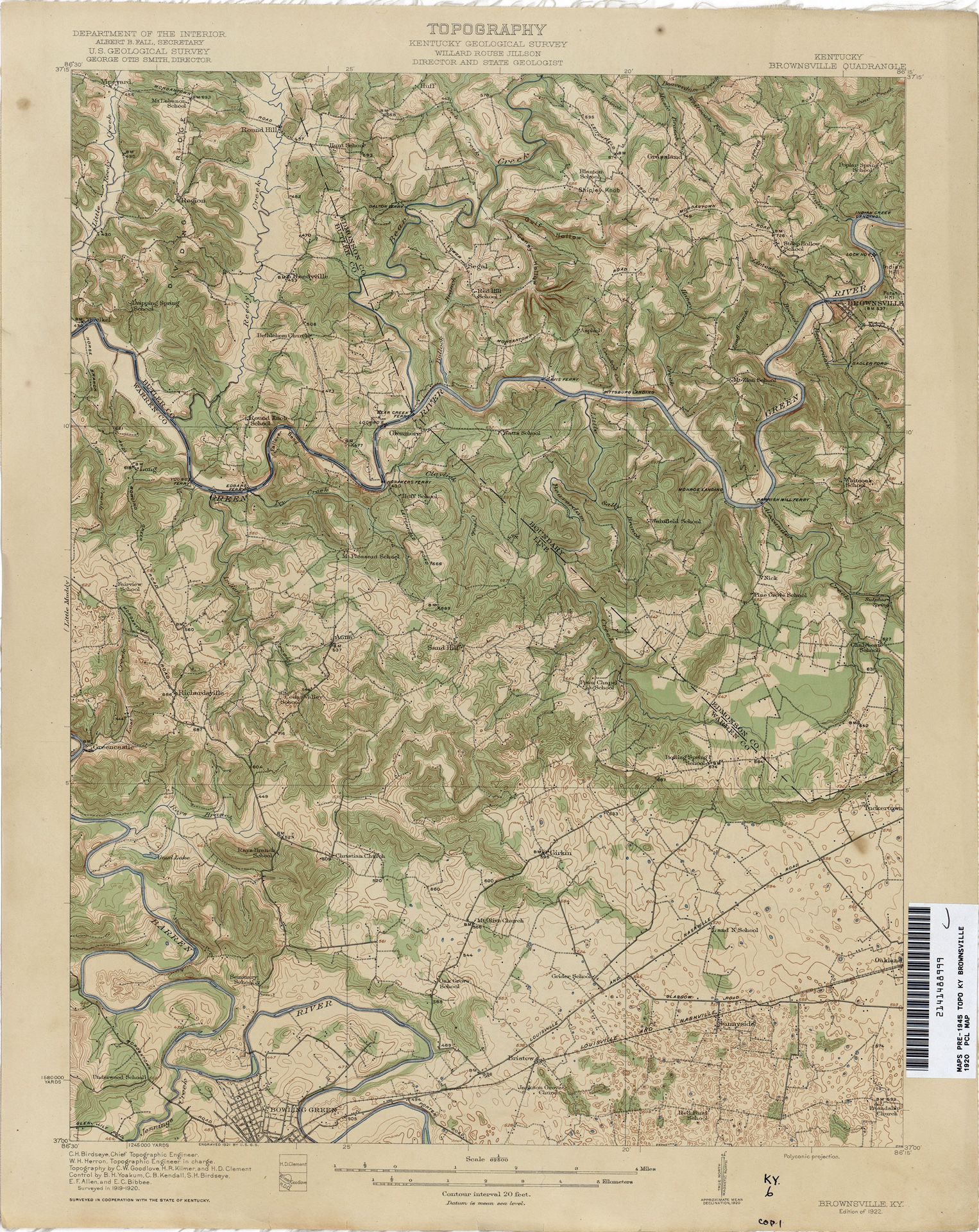
Vintage USGS Topo maps for select areas of central Kentucky. Interesting collectible for property and farm owners who are curious about any number of details contained in USGS Topo Maps. Very Good Condition / rolled / perfect for framing/. Here is a listing of some of the select areas in Central Kentucky that I have maps for. Austerlitz 1965 Bangor 1953 Centerville 1954 Clintonville 1965 Corbin 1070 Cornishville 1952 Cynthiana 1961 Farmers 1970 Ford 1952 Frankfort East 1970 Frankfort West 1970 Georgetown 1965 Haldeman 1977 Harrodsburg 1967 Kenne 1952 Lawrenceburg 1967 Lexington East 1965 McBrayer 1967 Midway 1954 Morehead 1970 Mount Sterling 1965 Nicholasville 1965 Oil Springs 1962 Olympia 1953 Paris East 1952 Paris West 1954 Richmond North 1965 Saltlick 1975 Sideview 1965 Somerset 1973 Tyrone 1967 Union City 1952 Winchester 1965 Withamsville OH /KY 1961
Save, Report, and Share
Item location map
Map is approximate to keep seller’s location private.
Related searches
- Antique dresser
- Antique furniture
- Antique desk
- Antique table
- Antique mirror
- Antique clocks
- Antique chairs
- Antique cabinets
- Antique bottles
- Antique armoire
- Antique lamps
- Antique dolls
- Antique china
- Antique glass
- Vintage lamp
- Vintage pyrex
- Candelabra