Take action
$30
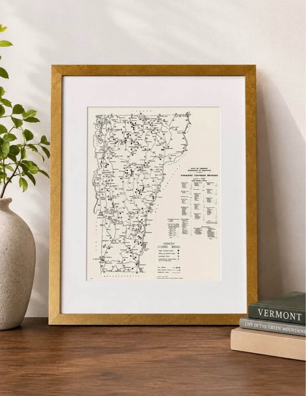
Vintage 1958 Vermont Covered Bridges Map - Framed (12x16)
Posted 30 days ago in South Burlington, VT
Listed in categories:

Chat securely on the app

Additional images
Description
Beautifully presented vintage piece featuring an official State of Vermont Department of Highways map from April 1, 1958, detailing the historic covered bridges across the state. Perfect decor for a home office, living space, or anyone who loves Vermont history and classic cartography. Please note this is a reprint from the Vermont Historical Society and isn’t actually from 1958. The map includes a detailed county-by-county breakdown and legend marking public highway bridges, bridges on private roads, and railroad bridges. Frame Size: 12 x 16 inches (Matted to perfectly showcase the map) Frame Finish: Elegant, textured metallic gold finish with clean mitered corners Display Ready: Features a solid backing with pre-installed durable hangers for both vertical and horizontal wall mounting
Details
Condition
New
Item location map
Map is approximate to keep seller’s location private.