Take action
$125
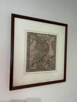
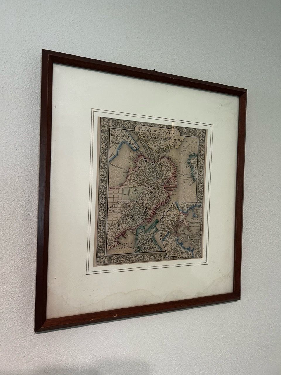
Antique Map of the City of Boston
Last updated about 10 hours ago in Gig Harbor, WA
Listed in categories:

Chat securely on the app

Additional images
Description
This is a 146 year old map of the City of Boston. The matting is stained but the image is not affected. Frame is 19” ( height)x 17” (width), Image is 11” (height) x 9.5” (width). FROM AI : This is an antique engraved map titled "Plan of Boston", published by S. Augustus Mitchell Jr.. Key details visible in the images: Cartographer & Publisher: Entered according to Act of Congress in 1860 by S. Augustus Mitchell Jr. in the Clerk's Office of the District Court of the U.S. Design Features: It is surrounded by an ornate floral and botanical decorative border and includes an inset map of Boston Harbor and surrounding islands in the lower right corner. Cartographic Milestone: Published in Mitchell’s New General Atlas, this map captures Boston on the brink of major mid-19th-century expansion, detailing street grids, early rail lines, and ferry routes just before massive landfill projects altered the city's geography. Signature Design: It features the highly collectible, ornate engraved floral and botanical border that S. Augustus Mitchell Jr. exclusively used in the earliest editions of his atlases published between 1860 and the mid-1860s. Scarcity & Value Availability: While individual atlas pages extracted from the 1860s–1880s editions occasionally surface on the antique market, the 1860 first-edition printing with the decorative floral border is scarcer than later, simpler-bordered variants from the 1870s and 1880s. Market Value: Individual hand-colored plates of this type typically retail or achieve auction values between $200 and $450, heavily dependent on condition, margins, and whether it retains its original hand-coloring.
Details
Condition
Used (normal wear)
Item location map
Map is approximate to keep seller’s location private.